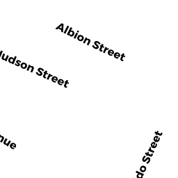
7 ALBION TERR
Owner Information
O'CONNOR WILLIAM T
18 GORDON DR
LONDONDERRY, NH 03053


Property Details
7 ALBION TERR is classified as a Two-Family Residential (Two family).
The primary structure on this property was built in 1910. There are 2,568ft2 of built area within this property. There is 1,456ft2 of residential/living space within this property. This property is listed as having 8 rooms.
7 ALBION TERR is valued at $690,700. The land is valued at $444,200 and the structures are valued at $246,500.
This property is in Zone NR. Confirm with local Zoning Board authorities to ensure there are no overlays or other easements on this property.
The most recent deed for 7 ALBION TERR is recorded at the local registrar in Book 72240, Page 38. 7 ALBION TERR was last sold on Tuesday, February 19, 2019 for $100.
Assessment data from fiscal year 2021.
Flood Data
According to the FEMA National Flood Hazard Layer, this property does not appear to be in a flood zone. It may also be in an area not yet reviewed. Nonetheless, confirm this information prior to taking any action.
To view the flood hazards around this property, create a FEMA "Firmette" Map of the area around 7 ALBION TERR.
Broadband Internet Providers
| Provider | Type | Bandwidth (mbps) | |
|---|---|---|---|
| Crown Castle Fiber | Fiber | 0 | 0 |
| VSAT Systems, LLC. | Satellite | 2 | 1 |
| HughesNet | Satellite | 25 | 3 |
| GCI Communication Corp. | Satellite | 0 | 0 |
| netBlazr Inc | Fixed Wireless | 50 | 50 |
| Starry, Inc. | Fixed Wireless | 200 | 200 |
| RCN | Cable | 1000 | 20 |
| RCN | Cable | 500 | 20 |
| Comcast | Cable | 1000 | 35 |
| Verizon New England Inc. | DSL | 15 | 1 |
| Viasat Inc | Satellite | 100 | 3 |
Broadband service provider data from December 2020.
Adjacent Properties
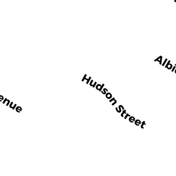
- 99 HUDSON ST
Two-Family Residential owned by MEGO ALEX & LARA - 103 HUDSON ST
Two-Family Residential owned by WILCOX GWEN TRUSTEE - 107 HUDSON ST
Two-Family Residential owned by TSALAH MOSHE & KAREN - 109 HUDSON ST
Two-Family Residential owned by CHUANG PAUL-LO & CHIU YI-NUNG - 8 ALBION TERR
Two-Family Residential owned by JAYNES DONALD P & CAITRIONA TRUSTEES